Aerial photograph 579295
Agricultural fields surround the lanes of the motorway route and the route of the BAB A 21 with angrenzenden Wasserauffangbecken in Negernboetel in the state Schleswig-Holstein, Germany
NEGERNBöTEL 01.09.2022
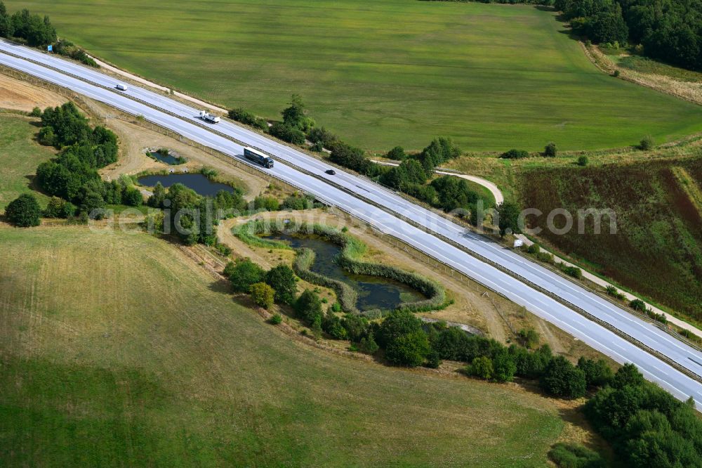
Agricultural fields surround the lanes of the motorway route and the route of the BAB A 21 with angrenzenden Wasserauffangbecken in Negernboetel in the state Schleswig-Holstein, Germany. Further information at: Autobahn GmbH des Bundes Niederlassung Nord. www.autobahn.de Photo: Robert Grahn
Aerial image ID: 579295
Image resolution: 8256 x 5504 pixels x 24 bit
compressed image file size: 17,03 MB
Image file size: 130,01 MB
Sources and credit: © euroluftbild.de/Robert Grahn
The recording is permitted due to the so-called freedom of panorama according to § 59 UrhG. The provision of Section 59 UrhG conforms to the directive based on Art. 5 Para. 3 Letter c of Directive 2001/29/EC of the European Parliament and of the Council of May 22, 2001 on the harmonization of certain aspects of copyright and related property rights in the information society ("InfoSoc-RL") to be interpreted. The directive-compliant interpretation shows that aerial photographs are also covered by § 59 Para. 1 UrhG and the use of tools does not lead out of the protective barrier. www.klebba.legal
Position: 54° 0' 10.46'' N / 10° 15' 8.65'' E