Aerial image 559964
Agricultural land and field boundaries surround the settlement area of the village in Bad Rippoldsau in the state Baden-Wuerttemberg, Germany
BAD RIPPOLDSAU 05.10.1967
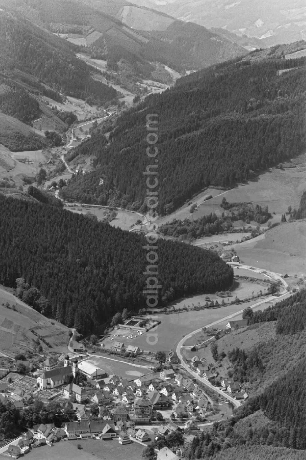
Agricultural land and field boundaries surround the settlement area of the village in Bad Rippoldsau in the state Baden-Wuerttemberg, Germany. Photo: Hugo Moser
Aerial image ID: 559964
Image resolution: 4000 x 6000 pixels x 24 bit
compressed image file size: 16,91 MB
Image file size: 68,66 MB
Sources and credit: © euroluftbild.de/Hugo Moser
All information gathered here in picture and word represent a non-binding information offer to you, which was compiled from trustworthy media. Objections or correction notes please to info@euroluftbild.de - Media licenses according to MfM table!
Position: 48° 25' 50.83'' N / 8° 19' 23.86'' E
Keywords
#Bad Rippoldsau
#aerial photo
#aerial photography
#aerial picture
#aerial view
#air photo
#Europe
#Germany
#Baden-Wuerttemberg
#Village
#settlement
#infrastructure
#streets
#building
#house
#community
#rural
#edge
#field
#agriculture
#plant breeding
#Color
#monochrome
#black and white
#black
#white
#contrast
#time
#history
#historical
#past
#heritage
#Nature
#environment
#vegetation
#forest
#coniferous forest
#forest area
#wood
#raw material
#forestry
#resource
#renewable