Aerial photograph 504289
Agricultural land and field boundaries surround the settlement area of the village in Bionville-sur-Nied in Grand Est, France
BIONVILLE-SUR-NIED 31.08.2011
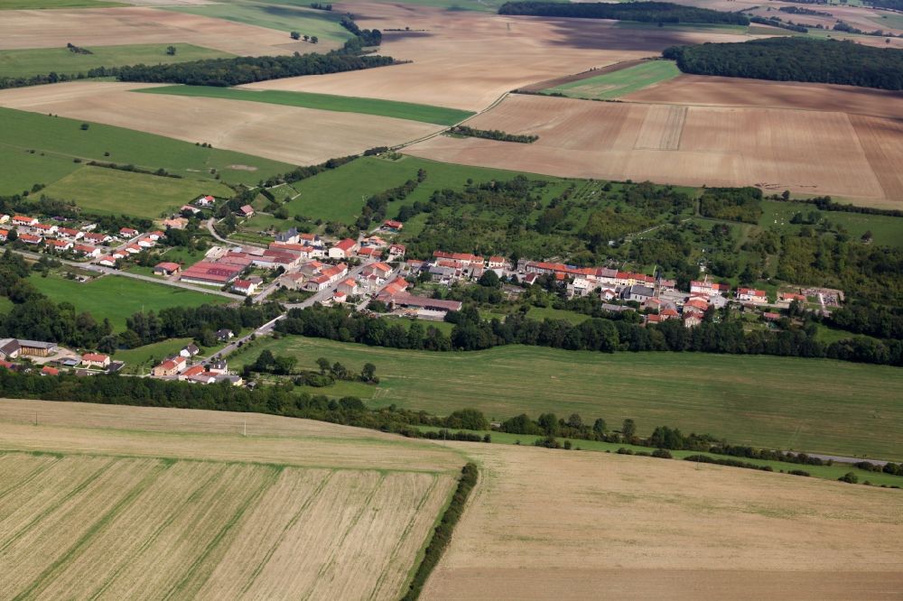
Agricultural land and field boundaries surround the settlement area of the village in Bionville-sur-Nied in Grand Est, France. Photo: Alfons Rath
Aerial image ID: 504289
Image resolution: 5616 x 3744 pixels x 24 bit
compressed image file size: 13,31 MB
Image file size: 60,16 MB
Sources and credit: © euroluftbild.de/Alfons Rath
All information gathered here in picture and word represent a non-binding information offer to you, which was compiled from trustworthy media. Objections or correction notes please to info@euroluftbild.de - Media licenses according to MfM table!
Position: 49° 6' 20.11'' N / 6° 28' 47.12'' E