
Aerial image 572412
Agricultural land and field boundaries surround the settlement area of the village in Göttendorf in the state Thuringia, Germany
GöTTENDORF 12.08.2016
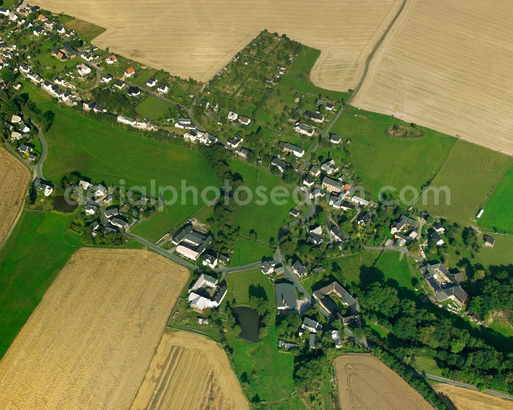
Agricultural land and field boundaries surround the settlement area of the village in Göttendorf in the state Thuringia, Germany Photo: Gerhard Launer
Aerial image ID: 572412
Image resolution: 3937 x 3150 pixels x 24 bit
compressed image file size: 15,45 MB
Image file size: 35,48 MB
Sources and credit: © euroluftbild.de/Gerhard Launer
The recording is permitted due to the so-called freedom of panorama according to § 59 UrhG. The provision of Section 59 UrhG conforms to the directive based on Art. 5 Para. 3 Letter c of Directive 2001/29/EC of the European Parliament and of the Council of May 22, 2001 on the harmonization of certain aspects of copyright and related property rights in the information society ("InfoSoc-RL") to be interpreted. The directive-compliant interpretation shows that aerial photographs are also covered by § 59 Para. 1 UrhG and the use of tools does not lead out of the protective barrier. www.klebba.legal
Position: 50° 40' 13.24'' N / 12° 5' 47.3'' E