Aerial image 563788
Agricultural land and field boundaries with the power plants Centrale nucleaire de Dampierre surround the settlement area of the village in Saint-Gondon in Centre-Val de Loire, France
SAINT-GONDON 09.05.2022
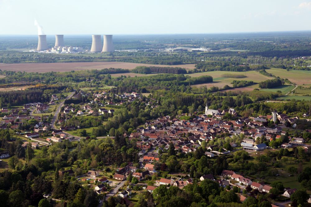
Agricultural land and field boundaries with the power plants Centrale nucleaire de Dampierre surround the settlement area of the village in Saint-Gondon in Centre-Val de Loire, France. Photo: Alfons Rath
Aerial image ID: 563788
Image resolution: 5616 x 3744 pixels x 24 bit
compressed image file size: 12,83 MB
Image file size: 60,16 MB
Sources and credit: © euroluftbild.de/Alfons Rath
All information gathered here in picture and word represent a non-binding information offer to you, which was compiled from trustworthy media. Objections or correction notes please to info@euroluftbild.de - Media licenses according to MfM table!
Position: 47° 41' 47.87'' N / 2° 32' 27.82'' E
Keywords
#Saint-Gondon
#aerial photo
#aerial photography
#aerial picture
#aerial view
#air photo
#Europe
#France
#Centre-Val de Loire
#Village
#settlement
#infrastructure
#streets
#building
#house
#community
#rural
#edge
#field
#agriculture
#plant breeding
#industry
#power station
#energy
#heat
#electricity
#visibility
#immediate
#influence
#quality of life
#jobs
#workplace