Aerial image 198038
Bonndorf in the Black Forest in the state of Baden-Württemberg. The town's location opposite the Forest is visible. The Black Forest is Germany's highest and largest connected low mountain range, located in the Sout West of the state of Baden-Württemberg. Today, it is mostly significant for its tourims sites and regions
BONNDORF 19.06.2007
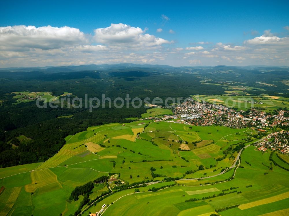
Bonndorf in the Black Forest in the state of Baden-Württemberg. The town's location opposite the Forest is visible. The Black Forest is Germany's highest and largest connected low mountain range, located in the Sout West of the state of Baden-Württemberg. Today, it is mostly significant for its tourims sites and regions. www.schwarzwald-tourismus.info Photo: Gerhard Launer
Aerial image ID: 198038
Image resolution: 4000 x 3000 pixels x 24 bit
compressed image file size: 4,15 MB
Image file size: 34,33 MB
Sources and credit: © euroluftbild.de/Gerhard Launer
The recording is permitted due to the so-called freedom of panorama according to § 59 UrhG. The provision of Section 59 UrhG conforms to the directive based on Art. 5 Para. 3 Letter c of Directive 2001/29/EC of the European Parliament and of the Council of May 22, 2001 on the harmonization of certain aspects of copyright and related property rights in the information society ("InfoSoc-RL") to be interpreted. The directive-compliant interpretation shows that aerial photographs are also covered by § 59 Para. 1 UrhG and the use of tools does not lead out of the protective barrier. www.klebba.legal
Position: 25° 42' 5.39'' S / 54° 26' 11.34'' W