Aerial image 192930
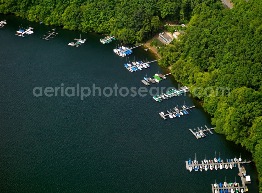
Boote und Anlegestellen im Rursee im Bundesland Nordrhein-Westfalen. Der Rursee, eigentlich Rurstausee, ist der zweitgrößte Stausee Deutschlands. Er ist durch die Rurtalsperre entstanden, die den Fluß Rur staut. Er ist beliebter Ausflugsort und Segelort. / Boats and runways on lake Rursee in the state of North Rhine-Westphalia. The lake is the second largest barrier lake in Germany. It was created through the Rur valley barrier, damming the river Rur. It is well known as a recreational area and for sailing.
RURSTAUSEE 14.07.2007
www.rursee.de Photo: Gerhard Launer
Aerial image ID: 192930
Image resolution: 7205 x 5315 pixels x 24 bit
compressed image file size: 16,09 MB
Image file size: 109,56 MB
Sources and credit: © euroluftbild.de/Gerhard Launer
The recording is permitted due to the so-called freedom of panorama according to § 59 UrhG. The provision of Section 59 UrhG conforms to the directive based on Art. 5 Para. 3 Letter c of Directive 2001/29/EC of the European Parliament and of the Council of May 22, 2001 on the harmonization of certain aspects of copyright and related property rights in the information society ("InfoSoc-RL") to be interpreted. The directive-compliant interpretation shows that aerial photographs are also covered by § 59 Para. 1 UrhG and the use of tools does not lead out of the protective barrier. www.klebba.legal