Aerial image 603940
Circumferential, horizontally adjustable 360 degree perspective city area with outside districts and inner city area in Port Louis in Port Louis District, Mauritius including the harbor
PORT LOUIS 11.02.2023
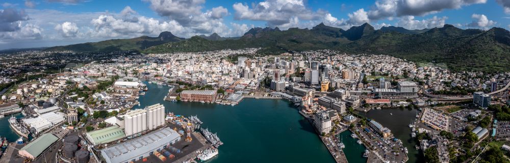
Circumferential, horizontally adjustable 360 degree perspective city area with outside districts and inner city area in Port Louis in Port Louis District, Mauritius including the harbor. Photo: Mario Hagen
Aerial image ID: 603940
Image resolution: 11672 x 3739 pixels x 24 bit
compressed image file size: 29,62 MB
Image file size: 124,86 MB
Sources and credit: © euroluftbild.de/Mario Hagen
The recording is permitted due to the so-called freedom of panorama according to § 59 UrhG. The provision of Section 59 UrhG conforms to the directive based on Art. 5 Para. 3 Letter c of Directive 2001/29/EC of the European Parliament and of the Council of May 22, 2001 on the harmonization of certain aspects of copyright and related property rights in the information society ("InfoSoc-RL") to be interpreted. The directive-compliant interpretation shows that aerial photographs are also covered by § 59 Para. 1 UrhG and the use of tools does not lead out of the protective barrier. www.klebba.legal
Position: 20° 9' 40.39'' S / 57° 29' 59.01'' E