Aerial photograph 558357
Course of the road layout of the country road L1142 with adjacent agricultural areas and farms in Waiblingen in the state Baden-Wuerttemberg, Germany
WAIBLINGEN 30.07.1963
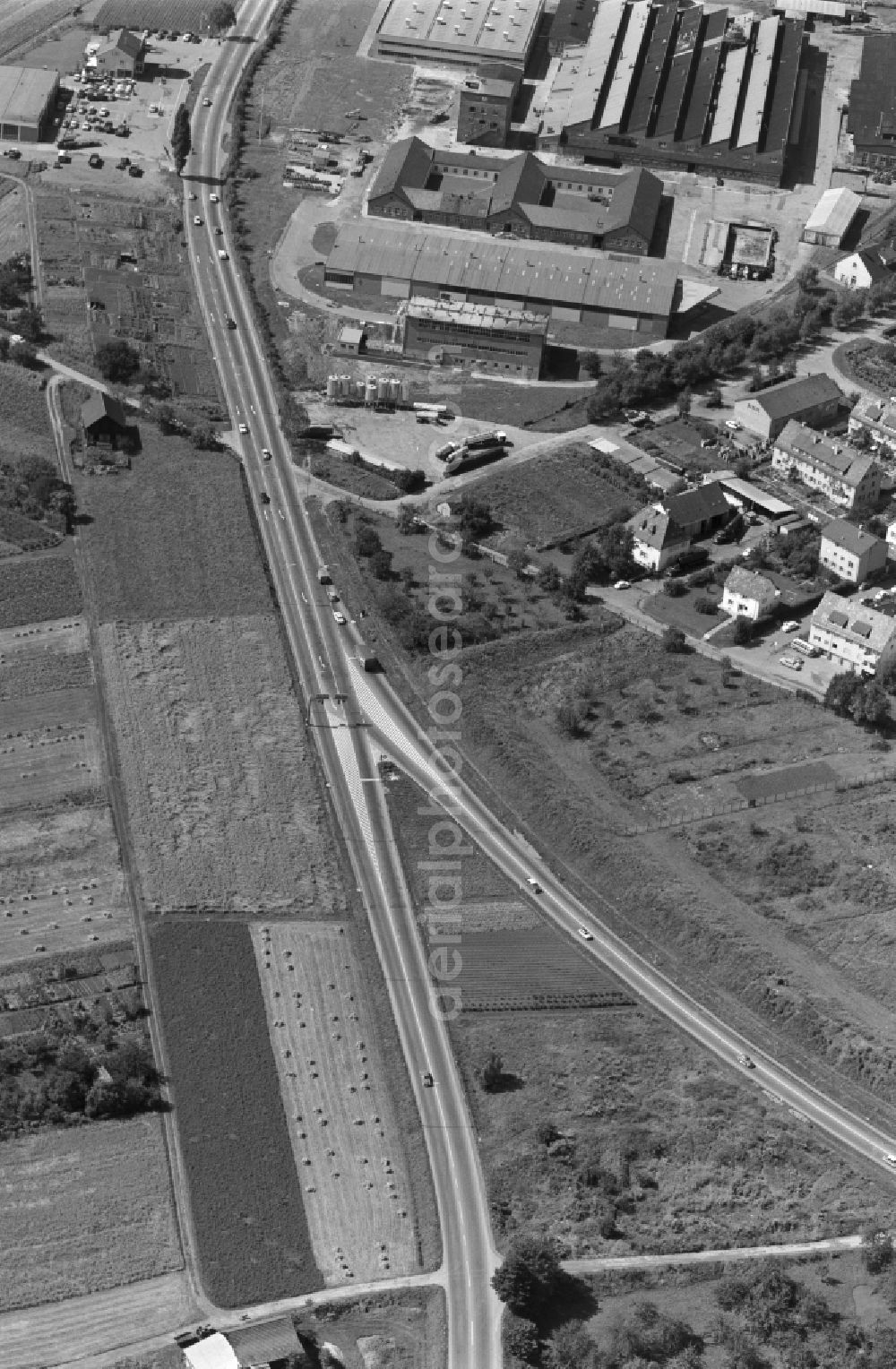
Course of the road layout of the country road L1142 with adjacent agricultural areas and farms in Waiblingen in the state Baden-Wuerttemberg, Germany. www.waiblingen.de Photo: Hugo Moser
Aerial image ID: 558357
Image resolution: 3928 x 6000 pixels x 24 bit
compressed image file size: 9,11 MB
Image file size: 67,43 MB
Sources and credit: © euroluftbild.de/Hugo Moser
All information gathered here in picture and word represent a non-binding information offer to you, which was compiled from trustworthy media. Objections or correction notes please to info@euroluftbild.de - Media licenses according to MfM table!
Position: 48° 49' 45.67'' N / 9° 19' 6.86'' E