Aerial photograph 440881
Curved loop of the riparian zones on the course of the river of Maas/Meuse around Autigny-la-Tour in Grand Est, France
AUTIGNY-LA-TOUR 15.09.2019
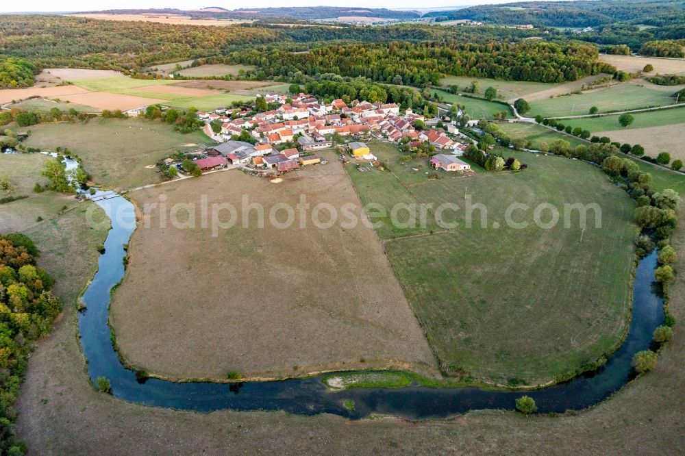
Curved loop of the riparian zones on the course of the river of Maas/Meuse around Autigny-la-Tour in Grand Est, France. Photo: Werner Riehm
Aerial image ID: 440881
Image resolution: 5472 x 3648 pixels x 24 bit
compressed image file size: 9,48 MB
Image file size: 57,11 MB
Sources and credit: © euroluftbild.de/Werner Riehm
All information gathered here in picture and word represent a non-binding information offer to you, which was compiled from trustworthy media. Objections or correction notes please to info@euroluftbild.de - Media licenses according to MfM table!
Position: 48° 24' 0.07'' N / 5° 45' 24.08'' E