Aerial image 548162
Lighthouse as a historical navigation sign in the coastal area Westerheversand in the district of Hauert in Westerhever in the federal state Schleswig-Holstein
TATING 09.03.2022
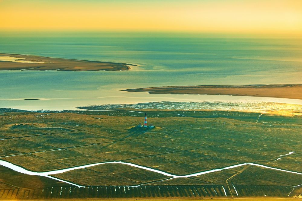
Lighthouse as a historical navigation sign in the coastal area Westerheversand in the district of Hauert in Westerhever in the federal state Schleswig-Holstein. www.nationalpark-wattenmeer.de / www.tz-eiderstedt.de / www.westerhever-nordsee.de / www.wsv.de / www.schutzstation-wattenmeer.de / www.lkn.landsh.de Photo: Martin Elsen
Aerial image ID: 548162
Image resolution: 7687 x 5125 pixels x 24 bit
compressed image file size: 29,99 MB
Image file size: 112,71 MB
Sources and credit: © euroluftbild.de/Martin Elsen
The recording is permitted due to the so-called freedom of panorama according to § 59 UrhG. The provision of Section 59 UrhG conforms to the directive based on Art. 5 Para. 3 Letter c of Directive 2001/29/EC of the European Parliament and of the Council of May 22, 2001 on the harmonization of certain aspects of copyright and related property rights in the information society ("InfoSoc-RL") to be interpreted. The directive-compliant interpretation shows that aerial photographs are also covered by § 59 Para. 1 UrhG and the use of tools does not lead out of the protective barrier. www.klebba.legal
Position: 54° 22' 24.61'' N / 8° 38' 23.88'' E