Aerial image 284968
Lugteich in Elsterheide, in the Federal State of Saxony. The Lugteich is one of the three flooded remaining holes of the open-cast mine of Laubusch in the forest between Laubusch to the West and Nardt
ELSTERHEIDE 01.07.2016
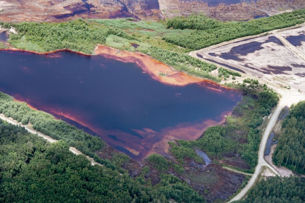
Lugteich in Elsterheide, in the Federal State of Saxony. The Lugteich is one of the three flooded remaining holes of the open-cast mine of Laubusch in the forest between Laubusch to the West and Nardt. Photo: Bernd Clemens
Aerial image ID: 284968
Image resolution: 5184 x 3456 pixels x 24 bit
compressed image file size: 6,14 MB
Image file size: 51,26 MB
Sources and credit: © euroluftbild.de/Bernd Clemens
The recording is permitted due to the so-called freedom of panorama according to § 59 UrhG. The provision of Section 59 UrhG conforms to the directive based on Art. 5 Para. 3 Letter c of Directive 2001/29/EC of the European Parliament and of the Council of May 22, 2001 on the harmonization of certain aspects of copyright and related property rights in the information society ("InfoSoc-RL") to be interpreted. The directive-compliant interpretation shows that aerial photographs are also covered by § 59 Para. 1 UrhG and the use of tools does not lead out of the protective barrier. www.klebba.legal
Position: 51° 28' 0.6'' N / 14° 10' 10.62'' E