Aerial image 449584
Routing and traffic lanes during the highway exit and access the motorway A 2 in the district Buer in Gelsenkirchen in the state North Rhine-Westphalia, Germany
GELSENKIRCHEN 03.03.2020
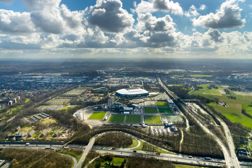
Routing and traffic lanes during the highway exit and access the motorway A 2 in the district Buer in Gelsenkirchen in the state North Rhine-Westphalia, Germany. Further information at: Autobahn GmbH, Landesbetrieb Strassenbau Nordrhein-Westfalen. www.autobahn.de / www.strassen.nrw.de Photo: Hans Blossey
Aerial image ID: 449584
Image resolution: 6720 x 4480 pixels x 24 bit
compressed image file size: 10,71 MB
Image file size: 86,13 MB
Sources and credit: © euroluftbild.de/Hans Blossey
The recording is permitted due to the so-called freedom of panorama according to § 59 UrhG. The provision of Section 59 UrhG conforms to the directive based on Art. 5 Para. 3 Letter c of Directive 2001/29/EC of the European Parliament and of the Council of May 22, 2001 on the harmonization of certain aspects of copyright and related property rights in the information society ("InfoSoc-RL") to be interpreted. The directive-compliant interpretation shows that aerial photographs are also covered by § 59 Para. 1 UrhG and the use of tools does not lead out of the protective barrier. www.klebba.legal
Position: 51° 33' 40.76'' N / 7° 3' 55.31'' E