Aerial photograph 574327
Sand accumulations and deposits on the dried-up groyne landscape of the low water level bank areas of the Rhine river in Niedermörmter in the state North Rhine-Westphalia, Germany
NIEDERMöRMTER 18.08.2022
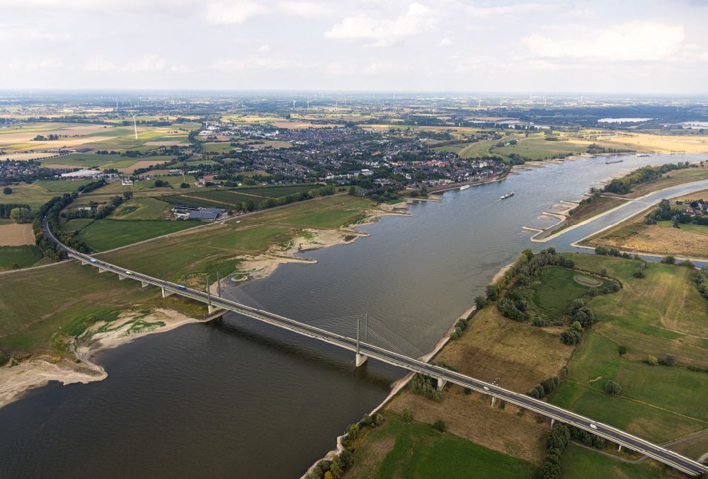
Sand accumulations and deposits on the dried-up groyne landscape of the low water level bank areas of the Rhine river in Niedermörmter in the state North Rhine-Westphalia, Germany Photo: Hans Blossey
Aerial image ID: 574327
Image resolution: 8192 x 5554 pixels x 24 bit
compressed image file size: 19,53 MB
Image file size: 130,17 MB
Sources and credit: © euroluftbild.de/Hans Blossey
The recording is permitted due to the so-called freedom of panorama according to § 59 UrhG. The provision of Section 59 UrhG conforms to the directive based on Art. 5 Para. 3 Letter c of Directive 2001/29/EC of the European Parliament and of the Council of May 22, 2001 on the harmonization of certain aspects of copyright and related property rights in the information society ("InfoSoc-RL") to be interpreted. The directive-compliant interpretation shows that aerial photographs are also covered by § 59 Para. 1 UrhG and the use of tools does not lead out of the protective barrier. www.klebba.legal
Position: 51° 45' 0'' N / 6° 22' 20.99'' E