Aerial photograph 343141
Sandbank- land area by flow under the river water surface in the Loire near Saumur in Pays de la Loire, France
SAUMUR 22.09.2017
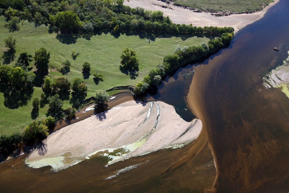
Sandbank- land area by flow under the river water surface in the Loire near Saumur in Pays de la Loire, France. Photo: Alfons Rath
Aerial image ID: 343141
Image resolution: 5616 x 3744 pixels x 24 bit
compressed image file size: 3,54 MB
Image file size: 60,16 MB
Sources and credit: © euroluftbild.de/Alfons Rath
All information gathered here in picture and word represent a non-binding information offer to you, which was compiled from trustworthy media. Objections or correction notes please to info@euroluftbild.de - Media licenses according to MfM table!
Position: 47° 14' 51.21'' N / 0° 2' 11.93'' W