Aerial image 556916
Sandbank- land area by flow under the sea water surface on the Mediterranean in Fuseta in Distrikt Faro, Portugal
FUSETA 11.03.2014
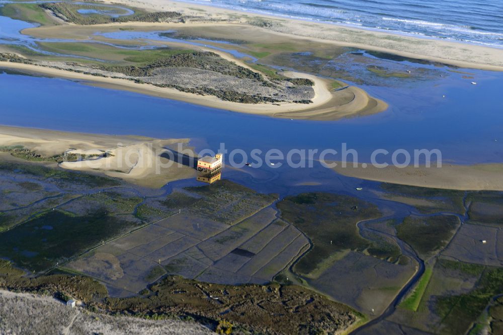
Sandbank- land area by flow under the sea water surface on the Mediterranean in Fuseta in Distrikt Faro, Portugal. Photo: Robert Sentef
Aerial image ID: 556916
Image resolution: 6675 x 4455 pixels x 24 bit
compressed image file size: 6 MB
Image file size: 85,08 MB
Sources and credit: © euroluftbild.de/Robert Sentef
The recording is permitted due to the so-called freedom of panorama according to § 59 UrhG. The provision of Section 59 UrhG conforms to the directive based on Art. 5 Para. 3 Letter c of Directive 2001/29/EC of the European Parliament and of the Council of May 22, 2001 on the harmonization of certain aspects of copyright and related property rights in the information society ("InfoSoc-RL") to be interpreted. The directive-compliant interpretation shows that aerial photographs are also covered by § 59 Para. 1 UrhG and the use of tools does not lead out of the protective barrier. www.slegal.de
Position: 37° 2' 53.83'' N / 7° 44' 45.66'' W