Aerial image 600844
Sea area Kattegat between Denmark and Sweden with Anholt island (Denmark)
KATTEGAT 27.07.2022
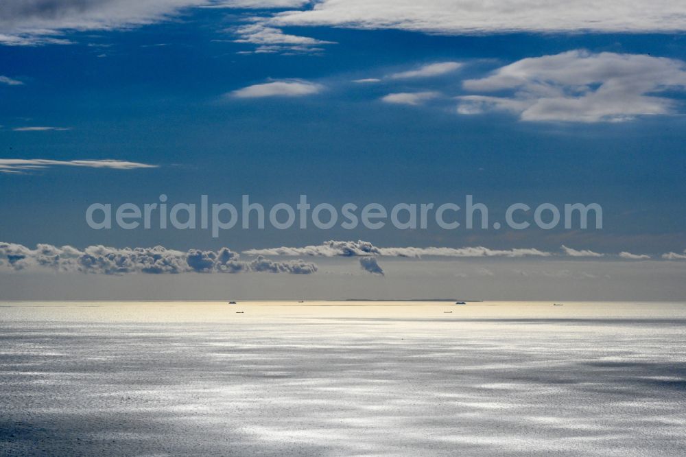
Sea area Kattegat between Denmark and Sweden with Anholt island (Denmark). Photo: Dr. Gernot Krämer
Aerial image ID: 600844
Image resolution: 8097 x 5398 pixels x 24 bit
compressed image file size: 8,31 MB
Image file size: 125,05 MB
Sources and credit: © euroluftbild.de/Dr. Gernot Krämer
The recording is permitted due to the so-called freedom of panorama according to § 59 UrhG. The provision of Section 59 UrhG conforms to the directive based on Art. 5 Para. 3 Letter c of Directive 2001/29/EC of the European Parliament and of the Council of May 22, 2001 on the harmonization of certain aspects of copyright and related property rights in the information society ("InfoSoc-RL") to be interpreted. The directive-compliant interpretation shows that aerial photographs are also covered by § 59 Para. 1 UrhG and the use of tools does not lead out of the protective barrier. www.klebba.legal
Position: 56° 43' 30.65'' N / 12° 10' 45.66'' E