Aerial photograph 395025
Shore areas exposed by low-water level riverbed on the Rhine river in Sankt Goar in the state Rhineland-Palatinate, Germany. At the right: the Loreley- Harbor
SANKT GOAR 23.10.2018
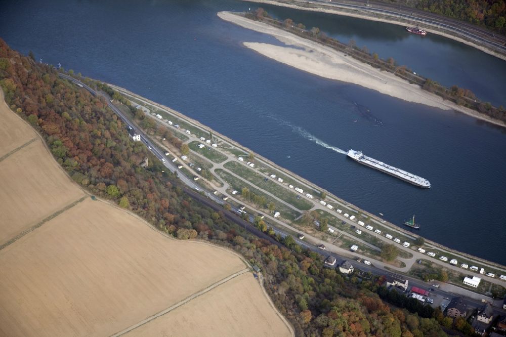
Shore areas exposed by low-water level riverbed on the Rhine river in Sankt Goar in the state Rhineland-Palatinate, Germany. At the right: the Loreley- Harbor. www.st-goar.de Photo: Alfons Rath
Aerial image ID: 395025
Image resolution: 5616 x 3744 pixels x 24 bit
compressed image file size: 4,78 MB
Image file size: 60,16 MB
Sources and credit: © euroluftbild.de/Alfons Rath
All information gathered here in picture and word represent a non-binding information offer to you, which was compiled from trustworthy media. Objections or correction notes please to info@euroluftbild.de - Media licenses according to MfM table!
Position: 50° 8' 39.95'' N / 7° 43' 21.52'' E