Aerial photograph 580529
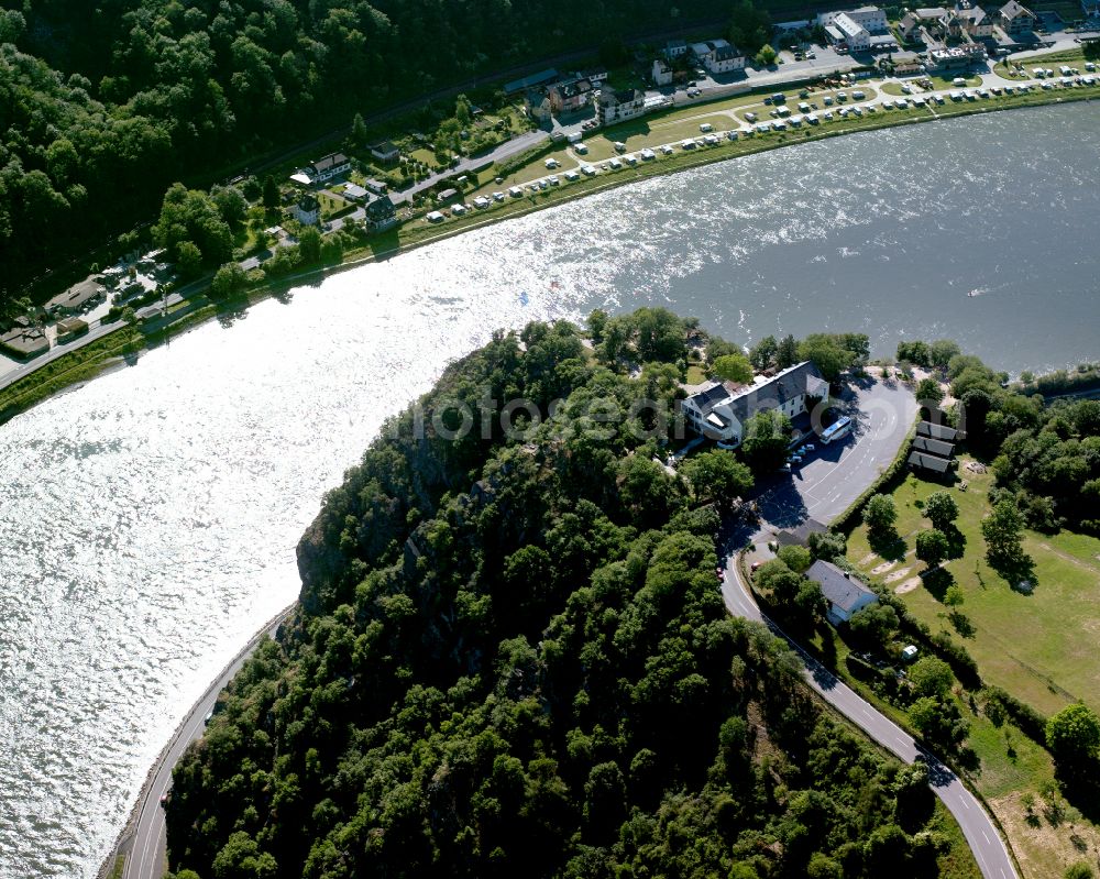
The Loreley near Sankt Goarshausen in the state of Rhineland-Palatinate. The Loreley is a slate rock in the UNESCO World Heritage Upper Middle Rhine Valley, located on the inside of a bend in the Rhine in the eastern, right bank of the Rhine. On the plateau is the open air stage Loreley, hwo regularly hosts major events (eg, rock concerts). Loreley is also the name of a mermaid on this rock. According to legend, she combed her there long golden hair and attracted the sailors with their singing. They did no longer stay attentively despite dangerous flow on the course, so that the ships were wrecked at the cliffs. For tourism, the Loreley is the epitome of the Romantic Rhine
SANKT GOARSHAUSEN 06.08.2016

The Loreley near Sankt Goarshausen in the state of Rhineland-Palatinate. The Loreley is a slate rock in the UNESCO World Heritage Upper Middle Rhine Valley, located on the inside of a bend in the Rhine in the eastern, right bank of the Rhine. On the plateau is the open air stage Loreley, hwo regularly hosts major events (eg, rock concerts). Loreley is also the name of a mermaid on this rock. According to legend, she combed her there long golden hair and attracted the sailors with their singing. They did no longer stay attentively despite dangerous flow on the course, so that the ships were wrecked at the cliffs. For tourism, the Loreley is the epitome of the Romantic Rhine. www.sankt-goarshausen.de Photo: Gerhard Launer
Aerial image ID: 580529
Image resolution: 3937 x 3150 pixels x 24 bit
compressed image file size: 16,41 MB
Image file size: 35,48 MB
Sources and credit: © euroluftbild.de/Gerhard Launer
The recording is permitted due to the so-called freedom of panorama according to § 59 UrhG. The provision of Section 59 UrhG conforms to the directive based on Art. 5 Para. 3 Letter c of Directive 2001/29/EC of the European Parliament and of the Council of May 22, 2001 on the harmonization of certain aspects of copyright and related property rights in the information society ("InfoSoc-RL") to be interpreted. The directive-compliant interpretation shows that aerial photographs are also covered by § 59 Para. 1 UrhG and the use of tools does not lead out of the protective barrier. www.klebba.legal
Position: 50° 8' 26.81'' N / 7° 43' 37.17'' E
