Aerial image 438822
Traffic management of the roundabout road of B249 and of Rockstedter Strasse with agricultural land and field borders surrounding the settlement area of the village in Ebeleben in the state Thuringia, Germany
EBELEBEN 05.06.2019
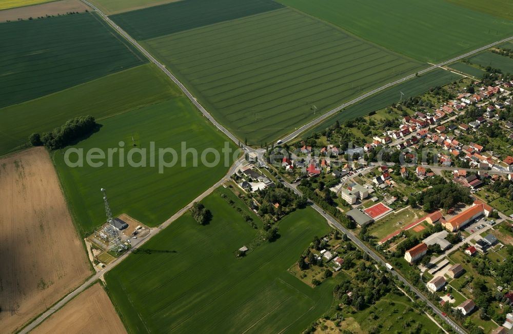
Traffic management of the roundabout road of B249 and of Rockstedter Strasse with agricultural land and field borders surrounding the settlement area of the village in Ebeleben in the state Thuringia, Germany. Photo: Karina Hessland
Aerial image ID: 438822
Image resolution: 5173 x 3373 pixels x 24 bit
compressed image file size: 2,64 MB
Image file size: 49,92 MB
Sources and credit: © euroluftbild.de/Karina Hessland
All information gathered here in picture and word represent a non-binding information offer to you, which was compiled from trustworthy media. Objections or correction notes please to info@euroluftbild.de - Media licenses according to MfM table!
Position: 51° 16' 46.22'' N / 10° 44' 21.62'' E