Aerial image 156166
View of Göhren, a municipality in the district on the peninsula Mönchgut of Ruegen in Mecklenburg-Western Pomerania. It includes the Cape Nordperd, the easternmost point of Rügen
MöNCHGUT - GRANITZ 23.07.2005
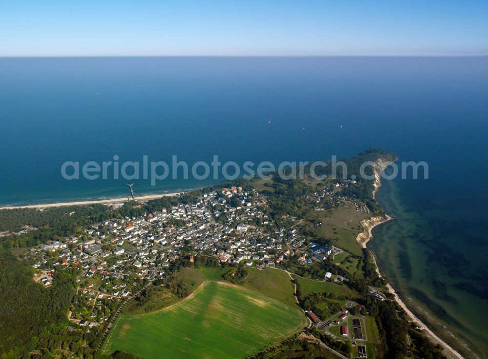
View of Göhren, a municipality in the district on the peninsula Mönchgut of Ruegen in Mecklenburg-Western Pomerania. It includes the Cape Nordperd, the easternmost point of Rügen. www.amt-moenchgut.de Photo: Gerhard Launer
Aerial image ID: 156166
Image resolution: 7205 x 5315 pixels x 24 bit
compressed image file size: 22,93 MB
Image file size: 109,56 MB
Sources and credit: © euroluftbild.de/Gerhard Launer
The recording is permitted due to the so-called freedom of panorama according to § 59 UrhG. The provision of Section 59 UrhG conforms to the directive based on Art. 5 Para. 3 Letter c of Directive 2001/29/EC of the European Parliament and of the Council of May 22, 2001 on the harmonization of certain aspects of copyright and related property rights in the information society ("InfoSoc-RL") to be interpreted. The directive-compliant interpretation shows that aerial photographs are also covered by § 59 Para. 1 UrhG and the use of tools does not lead out of the protective barrier. www.klebba.legal