Aerial image 452298
Vertical aerial view from the satellite perspective of the row of trees on a country road on a field edge in Hannover in the state Lower Saxony, Germany
HANNOVER 23.07.2019
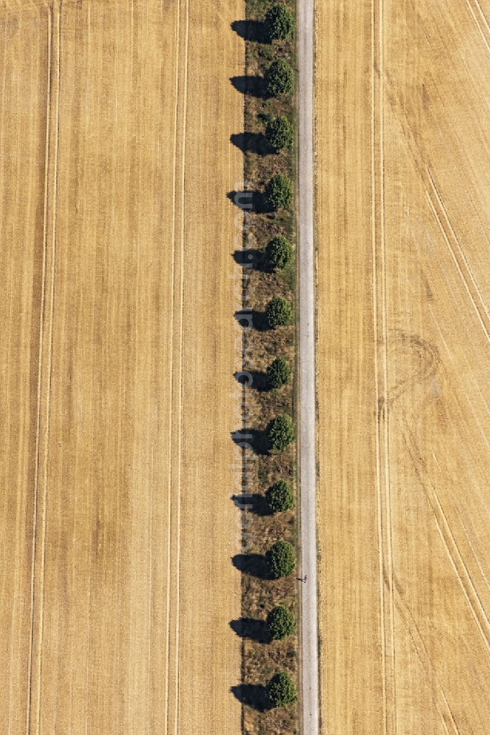
Vertical aerial view from the satellite perspective of the row of trees on a country road on a field edge in Hannover in the state Lower Saxony, Germany. Photo: Daniel Reiter
Aerial image ID: 452298
Image resolution: 4592 x 6888 pixels x 24 bit
compressed image file size: 20,15 MB
Image file size: 90,49 MB
Sources and credit: © euroluftbild.de/Daniel Reiter
The recording is permitted due to the so-called freedom of panorama according to § 59 UrhG. The provision of Section 59 UrhG conforms to the directive based on Art. 5 Para. 3 Letter c of Directive 2001/29/EC of the European Parliament and of the Council of May 22, 2001 on the harmonization of certain aspects of copyright and related property rights in the information society ("InfoSoc-RL") to be interpreted. The directive-compliant interpretation shows that aerial photographs are also covered by § 59 Para. 1 UrhG and the use of tools does not lead out of the protective barrier. www.klebba.legal
Position: 52° 20' 46.93'' N / 9° 51' 14.1'' E