Aerial image 452922
Vertical aerial view from the satellite perspective of the structures of a field landscape in Engelsbrand in the state Baden-Wuerttemberg, Germany
ENGELSBRAND 04.09.2019
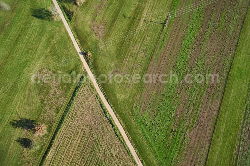
Vertical aerial view from the satellite perspective of the structures of a field landscape in Engelsbrand in the state Baden-Wuerttemberg, Germany. Photo: Octonauten UG
Aerial image ID: 452922
Image resolution: 4800 x 3200 pixels x 24 bit
compressed image file size: 6,1 MB
Image file size: 43,95 MB
Sources and credit: © euroluftbild.de/Octonauten UG
All information gathered here in picture and word represent a non-binding information offer to you, which was compiled from trustworthy media. Objections or correction notes please to info@euroluftbild.de - Media licenses according to MfM table!
Position: 48° 49' 28.33'' N / 8° 39' 9.2'' E
Keywords
#Engelsbrand
#aerial photo
#aerial photography
#aerial picture
#aerial view
#air photo
#Europe
#Germany
#Baden-Wuerttemberg
#Farming
#field
#landscape
#shape
#edge
#texture
#contrast
#meadow
#color
#green
#face
#perspective
#view
#vertical
#satellite
#overview
#course
#geography
#cartography
#basis
#surveying